In 2014 we  began using OptiSurface as a tool to assess paddock drainage and design land shaping plans. We have completed over 30 designs.
The majority of our designs have been on cropping farms, mostly fresh vegetables. But we have also done designs for orchards, berry farms and a school’s playing fields.
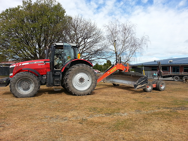
Patrick Nicolle Contracting equipment set up with Trimble RTK-GPS and a Montefiori levelling blade
We like OptiSurface for drainage analysis and design because it offers the customer a greatly reduced cost of earth moving. The promises on the OptiSurface website have been supported by our own experience.
Much of our work is with Trimble surveying and levelling, the system most used by the farmers and contractors with whom we work. We have found the transfer between Trimble FmX and OptiSurface simple and safe.
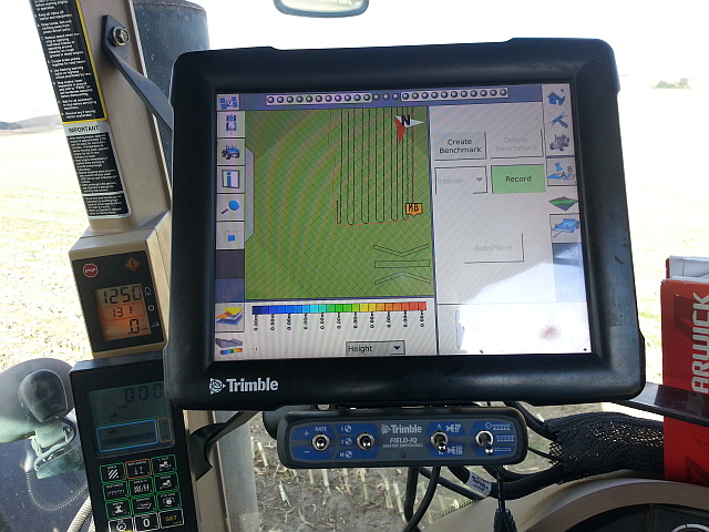
Surveying the farm with Trimble’s RTK-GPS and WM Survey
We have also been importing LiDAR data for preliminary drainage and surface flow analysis. Many regions hold comprehensive datasets, especially on the flood plains often used for high value production.
We have not tried to use LiDAR data for actual land-forming as we are not confident that the different systems accurately align. But we have used it to assess erosion risk and support development of Farm Drainage and Erosion Management Plans.
Results
In several cases, our analysis has shown that almost no land-shaping is required. This has been related to vegetable cropping on raised beds. Instead, simple changes to row direction can make all the difference. View Case Study
If the beds are perpendicular to the direction of flow, the beds act as dams and hold the water in the furrows. When sufficient water builds up, it breaks through one bed then the next in an increasing torrent. This can cause high rates of soil and crop loss. By simply turning the bed direction to follow the direction of flow, most of the ponding disappears, and with it the high risk of soil and crop loss.