This project investigated potential improvements in GNSS positioning accuracy using satellite based augmentation (SBAS) in various farming environments in NZ.
Put simply, SBAS is a system with a network of known land-based control points that provides correction signals to GPS units via satellite. The US equivalent is WAAS, the European equivalent is EGNOS.
The project focused on testing the SBAS Technology, comparing it with commercial systems currently available (at different levels of accuracy). Through insights gained from growers, the economic benefit SBAS could bring were assessed.
Vegetable growers view RTK-GPS as the Gold Standard and use it where precise positioning has value. Uncorrected signals are suitable for some applications but sub-metre is preferred. Handheld devices are often tried and generally rejected after disappointment, losing potential benefits of better management if better location data were available.
Apple growers appear slower to adopt GPS technologies because they identify a gap between very expensive and unwarranted RTK-GPS and cheap inadequate alternatives. Part of the reason is trouble getting good signals when working in large trees. The SBAS technology offers fit-for-purpose guidance and logging that could change the way growers use positioning technologies to enhance management and profitability.
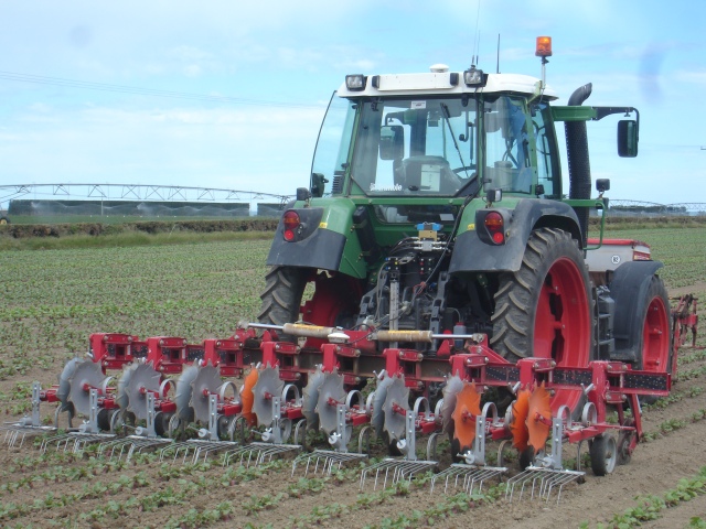
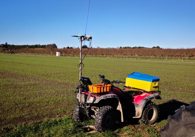
Using several alternatives, we tested SBAS technology for both static point location and kinematic guidance. Static location is beneficial for recording points of interest such as diseased plants, weeds and harvest bin location. Kinematic guidance allows growers to track operations such as spraying, ensuring no missed or double ups.
For kinematic testing we set the different devices on a mast on a quadbike, and drove a trail around the Centre for Land and Water, including driving up and down the rows in our research vineyard. We used a Trimble FmX RTK system as our base, and post-processed its location data to align with our surveyed-in benchmark.
Black and yellow rings are RTK-GPS points, blue and white lines are runs using our Arrow100 with SBAS , green line is a Bad Elf with SBAS and the yellow line a smartphone GPS. Lots of trails: what do you see in these?
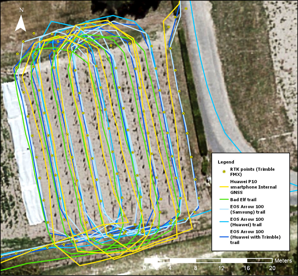
Yellow line = Smartphone GPS (uncorrected)
The project is one of a number funded under a joint Australia/New Zealand government initiative through the Australian CRC for Spatial Information (now Frontier-SI) and LINZ.
This project was completed on behalf of LandWISE Inc.
Contributing partners:
Page Bloomer Associates Ltd
GPS Control Systems Ltd
Hectre Group Ltd